
A Hike to the Rangitoto Summit Track
An easy climb through lava fields and pōhutukawa forest will enable you to soak in panoramic views of Auckland from the top of a volcanic island. The Rangitoto Summit Track will be a top pick for leisure travellers.

Overview
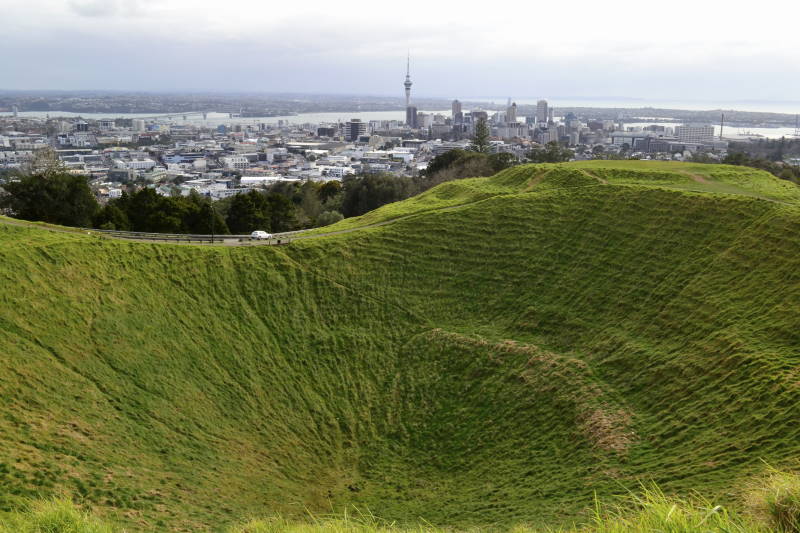
Known as an ‘Auckland icon’, Rangitoto Island’s conical peak is dominated by the Hauraki Gulf. This famous summit walk commences from Rangitoto Wharf heading through the largest Pohutukawa forest in the world and lava fields to the peak of the island at 259m above sea level.
What to see
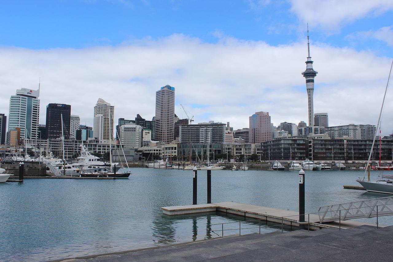
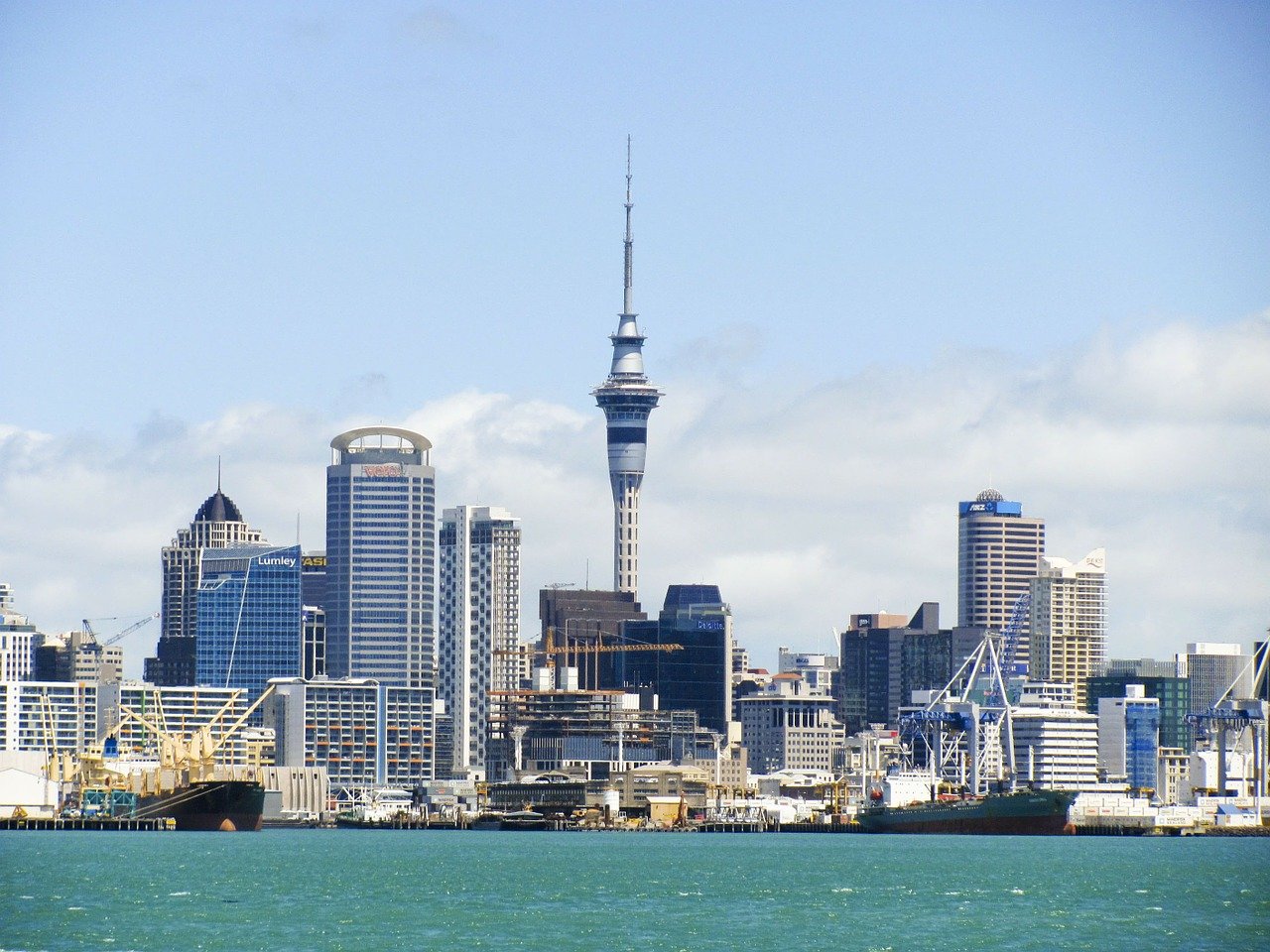
Once you reach the summit, feast your eyes with mesmeric panoramic views of the largest city in New Zealand and the Hauraki Gulf islands. Those who are based at one of the many Auckland harbour hotels the likes of Auckland Harbour Suites can easily plan a hiking tour to the Rangitoto summit with the support of the hotel staff.
Getting there
To reach the top of the volcano, will take around four hours for the journey. From there it is an hour’s journey to reach the summit of Rangitoto Island. If you can beat your fatigue at this point to walk atop, you will be rewarded with eye-catching views of Auckland.
Track quality
More than three fourth of the walk is on tracks and volcanic track roads. There are several places where the track may seem hard and rocky to walk on. Wearing a pair of shoes with a strong sole will make you feel comfortable while walking around Rangitoto Island.